| Home | Blog | FAQ | Contact Us | About Us |
|
| BIC802 Inc CCD Reversing Camera | |
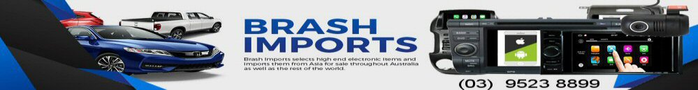
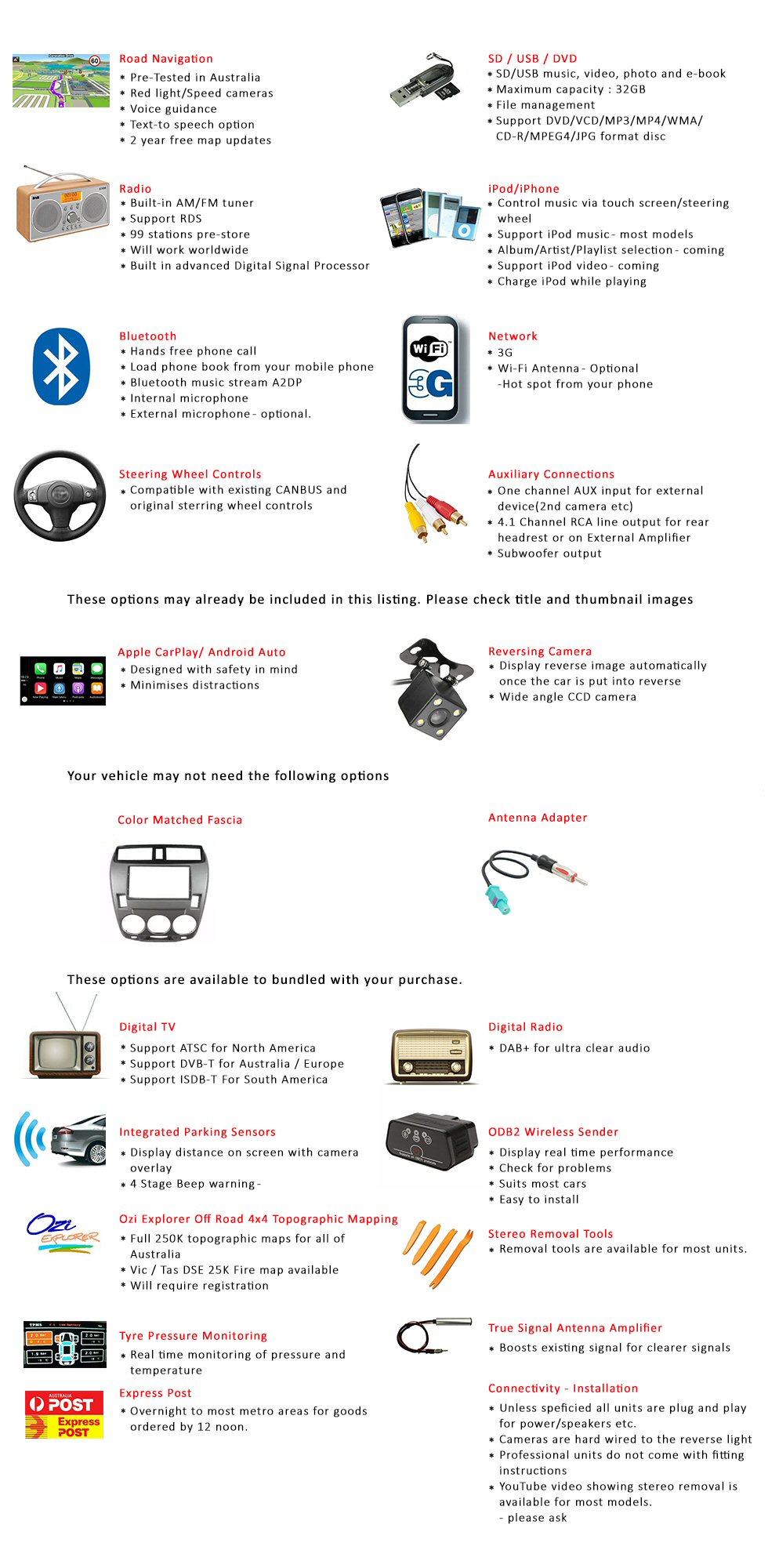
Apple Car Play USB Dongle
(click here for details)
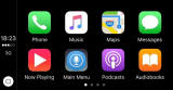 |
Integrated front facing DVR Camera
(crash cam)
 |
Integrated Digital TV Tuner with twin powered antennas (click here for details) | Digital Radio tuner with external glass mounted antenna (click here for details) |
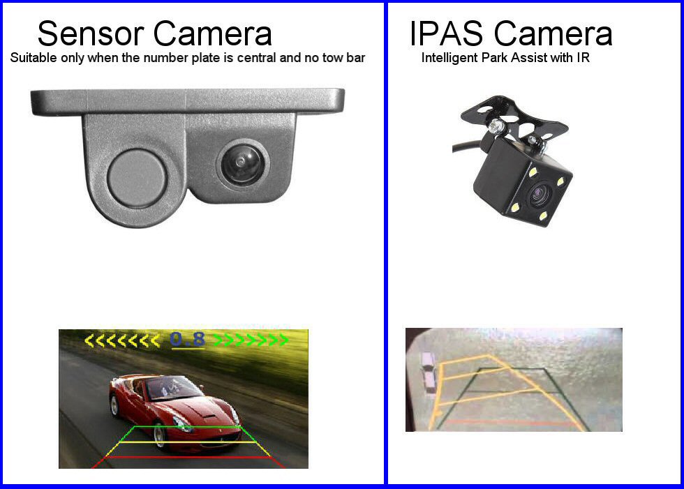
Upgrade camera to Sensor Camera
 |
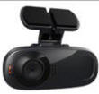
Upgrade camera to IPAS (Intelligent Park Assist) Camera (as pictured below) |
ODB2 Wireless Sender
(click for details)
 |
Tyre Pressure Monitor Sender
(click for more detail)
 |
Ozi Explorer Off Road 1:250K Aust wide
mapping installed
(will need to purchase your individual licence direct from Ozi Explorer) |
Express Post
|
Stereo Removal tools |
MANUALS:
READ THE
FULL USER MANUAL